


 Lac Etchemin Property


 DESCRIPTION OF THE LAC ETCHEMIN PROPERTY The Lac Etchemin Property (Dussault) is situated in the
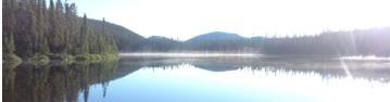
 Ware Township, 125 km south of Quebec city (NTS 21L08). The property is easily accessible by the provincial road 277. The property covers a superficy of 149 hectares and includes the following 4 claims: CLD-P014812 48.37 ha CLD-P014813 31.44 ha CLD-P014913 44.65 ha CLD-P014914 24.42 ha Previous work consisted in Beep Mat survey in 1997, with a MaxMin survey and diamond drill holes in 1998 (Fig.3). These surveys (fig.4) allowed the detection of 5 anomalies on which 2 of them were followed with an Induced Polarization Survey in 2010. One of the diamond drilling hole done in 1998 intersected 8.8m @ 2.2% Zinc with 1.5m @ 6.1% Zinc. See the full 3 reports below describing in details the 1998 exploration work and 2010 Induced Polarization survey done on the property.
  Figure 1: Location Map of the Lac Etchemin Project Click thumbnail to enlarge © Copyright 2019 - All rights reserved
 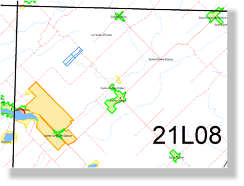 Figure 2:Claims Map of the Lac Etchemin Project Click thumbnail to enlarge
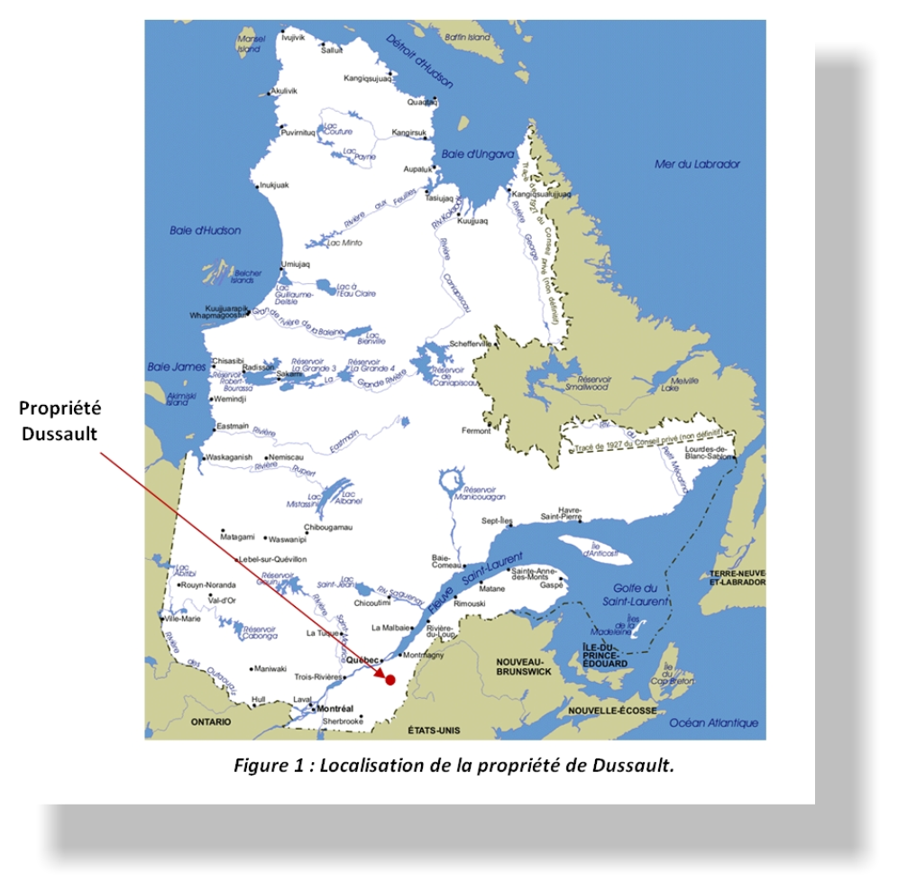
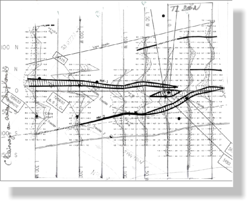 Figure 4: Induced polarization survey with the MaxMin grid and data. Click thumbnail to enlarge
 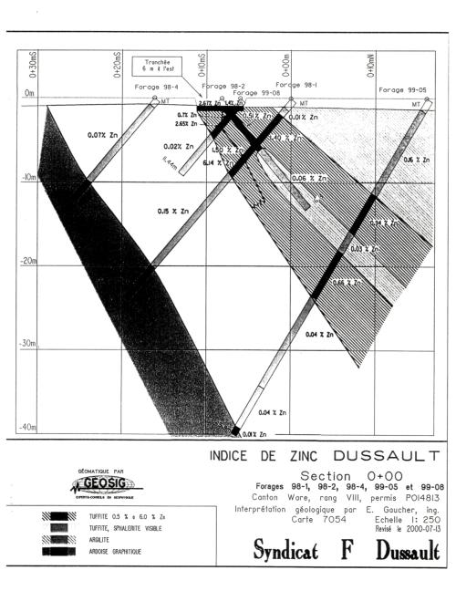 Figure 3: Drill holes from 1998 campaign. See the full 1999 Report See the full 2000 report
  REPORT 1 October 1999
  REPORT 2 July 2000 For more information on the property, please contact us REPORT 3 IP Survey - 2010